
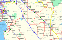
Shaver Lake Area Riding |

|
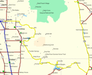
BAVFR Reinvades Death Valley
March 27-30, 2008 |

|

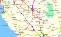
Caliente Loop |
|
Shaver Lake Area Riding |
|
BAVFR Reinvades Death Valley
March 27-30, 2008 |
|
Caliente Loop |
|
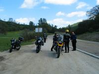
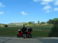
Day 1 I departed Los Gatos solo at about 10:30AM to meet the group in Visalia in the evening. I headed out through Livermore and kept going east to Coulterville. There I headed south through the Sierra foothills down highway 49 through the "Little Dragon" which winds its way down one side of the gorge of the Merced River and up the other side. I had lunch at one of my favorite burger joints, Happy Burger, in Mariposa. A neat place whose walls are covered in old album covers. Most are pretty tacky. I'm sorry to say I've owned some of those! Continued to Visalia on highways and arrived about 5:30. A short day of 274 miles. Day 1 GPS data
Day 2
Day 3
Day 4
|
Click small image for larger view.
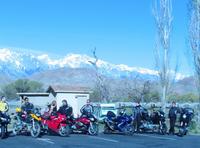
 Day 1 |
 Day 2 |
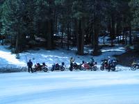 Snow at the summit of Hwy 155 |
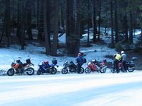 Snow at the summit of Hwy 155 |
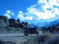
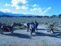
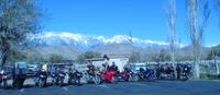
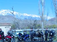
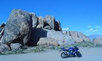 Alabama Hills |
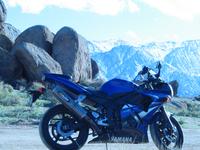
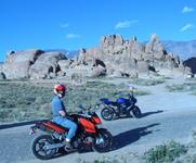
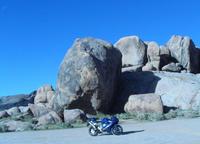 Alabama Hills |
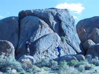
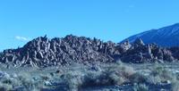
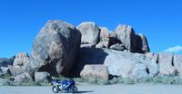 Alabama Hills |
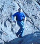
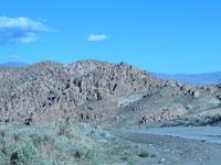
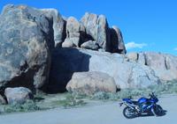 Alabama Hills |
 Alabama Hills |
 Alabama Hills |
 Alabama Hills |
 The Missing Link? |
 Alabama Hills |
 Alabama Hills |
 Alabama Hills |
 Alabama Hills |
 Day 3 |
 Lone Pine |
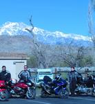 Lone Pine |
 Lone Pine |
 Lone Pine |
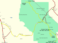
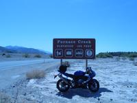 Furnace Creek 190' below sea level |
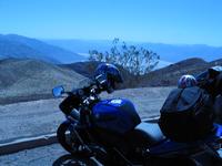 Dante's View 5479' above sea level |
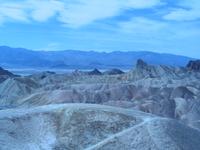 Zabriskie Point |
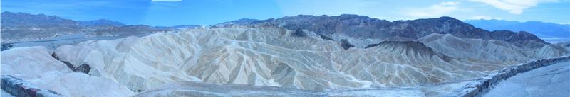 Zabriskie Point |
|||
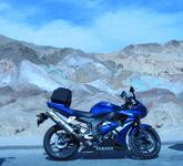 Artist's Palette |
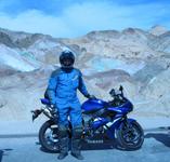 Artist's Palette |
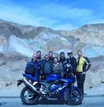 Artist's Palette |
|
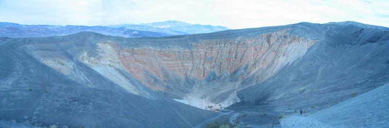 Ubehebe Volcanic Crater |
|||
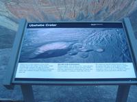 Ubehebe Volcanic Crater |
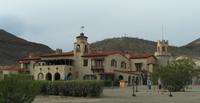 Scotty's Castle |
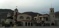 Scotty's Castle |
 Day 4 |
 Along Hwy 58 |
 Along Hwy 58 |
 Along Hwy 58 |
 Along Hwy 58 |